These sights will leave you in awe.
Not sure where to start your sightseeing journey? Take inspiration from the following guide on the most popularly visited locations.
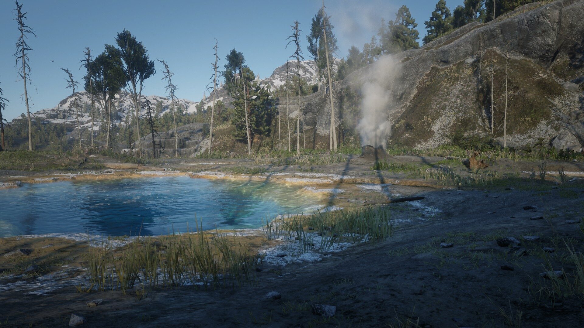
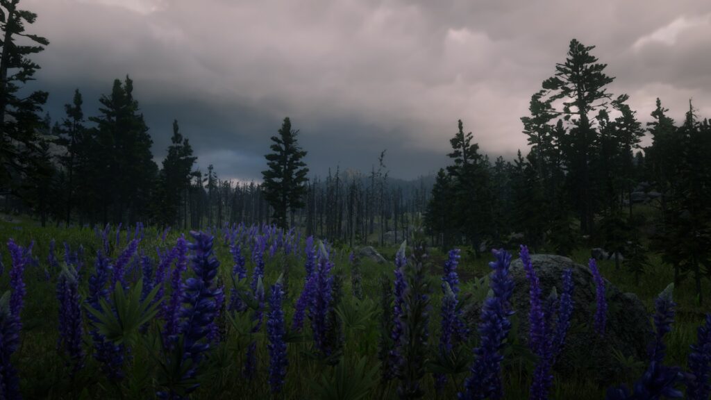
- Cotorra Springs
Cotorra Springs is a hydrothermal formation in the Grizzlies East region of the Ambarino territory. It lies to the west of the Wapiti Indian Reservation and east of Whinyard Strait.

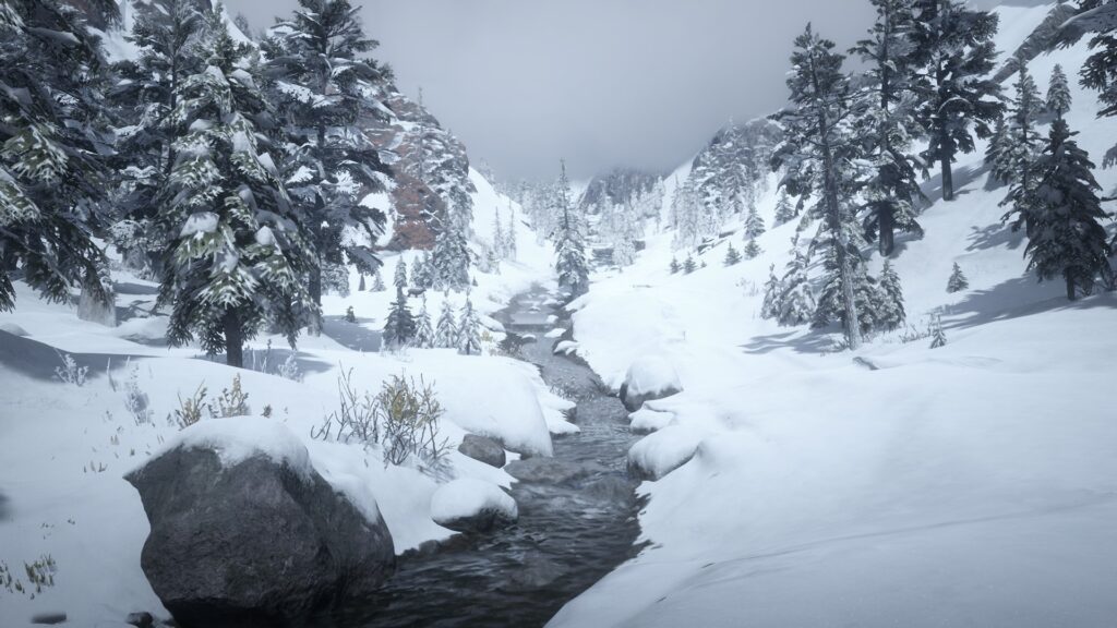
2. Wapiti Indian Reservation
Wapiti Indian Reservation is a Native American reservation the Grizzlies East region of the Ambarino territory. It lies to the north of Donner Falls and east to Cotorra Springs.
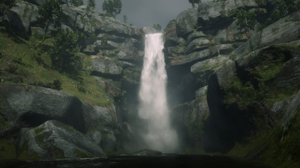
3. Manteca Falls
Manteca Falls (Spanish for Lard Falls) is a waterfall in the Hennigan’s Stead region of the New Austin territory. It lies to the south of Thieves Landing and Stillwater Creek.
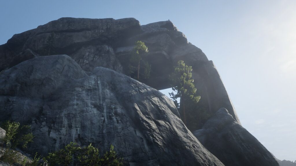
4. Window Rock
Window Rock is a natural formation in the Grizzlies West region of the Ambarino territory. It is located just south of Whinyard Strait.
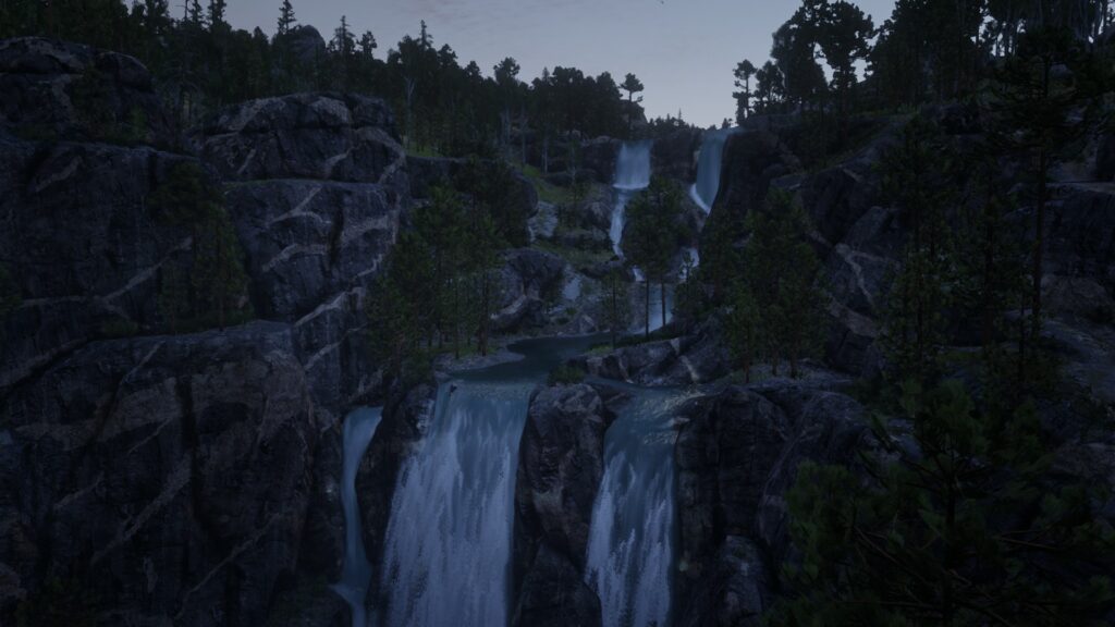
5. Donner Falls
Donner Falls is a waterfall in the Grizzlies East region of the Ambarino territory. It lies north of Bacchus Station and is part of the Dakota River system. Its source is the Calumet Ravine, a large reservoir near the Wapiti Indian Reservation.
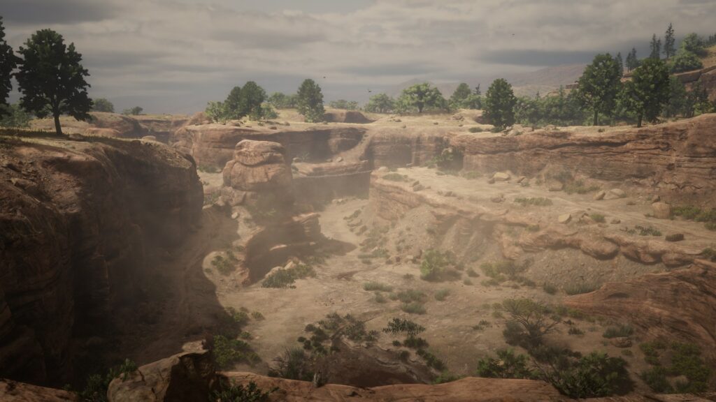
6. Pike´s Basin
Pike’s Basin is a canyon in the Hennigan’s Stead region of the New Austin territory. It lies to the east of Armadillo and north to the San Luis River.
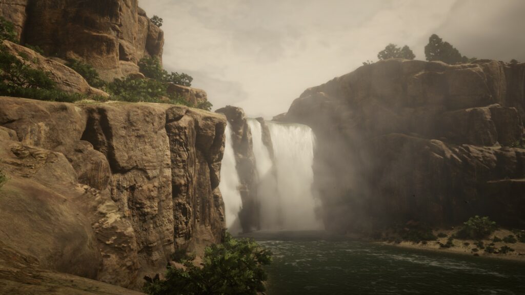
7. Brandywine Drop
Brandywine Drop is a waterfall in the Roanoke Ridge region of the New Hanover territory. It is situated near Roanoke Valley and flows into the Kamassa River.
8. Little Creek River
Little Creek River is a river in the Big Valley region of the West Elizabeth territory. It is located between the town of Strawberry and Mount Hagen.
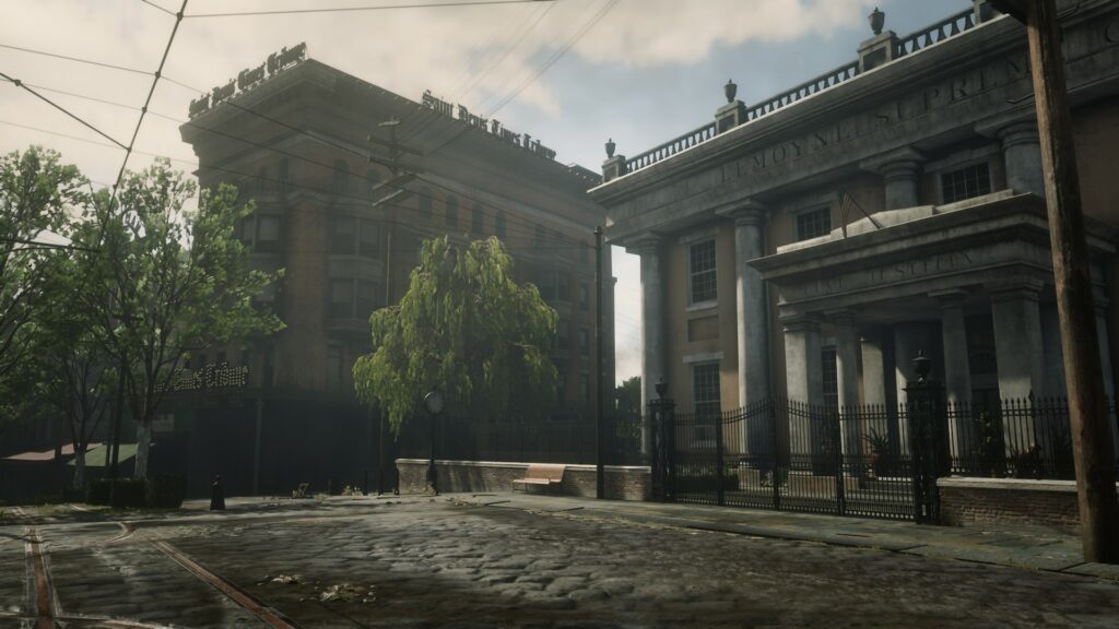
9. Saint Denis
Saint Denis, the „Jewel of Lemoyne“, is a major city and the state capital of Lemoyne, located in the Bayou Nwa region on the banks of the Lannahechee River.
10. Mount Hagen
Mount Hagen is a traversable mountain in the Grizzlies West region of the Ambarino territory. The mountain is located southeast of Lake Isabella. It is also the highest point of the park.
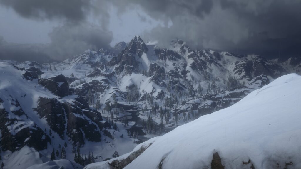
Your view from the top of Mount Hagen
11. Aurora Basin
Aurora Basin is a body of water in the Tall Trees region of the West Elizabeth territory. It lies to the west of Tall Trees.

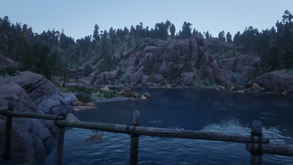
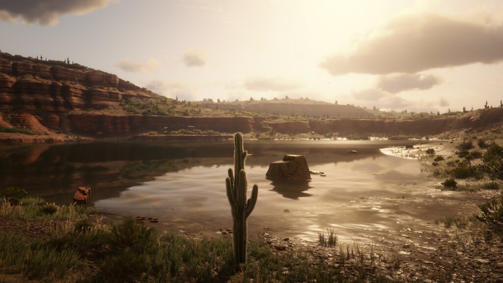
12. Lake Don Julio
Lake Don Julio is a body of water in the Cholla Springs region of the New Austin territory. It is located to the south of Armadillo and to the east of Fort Mercer.
13. O´Creagh´s Run
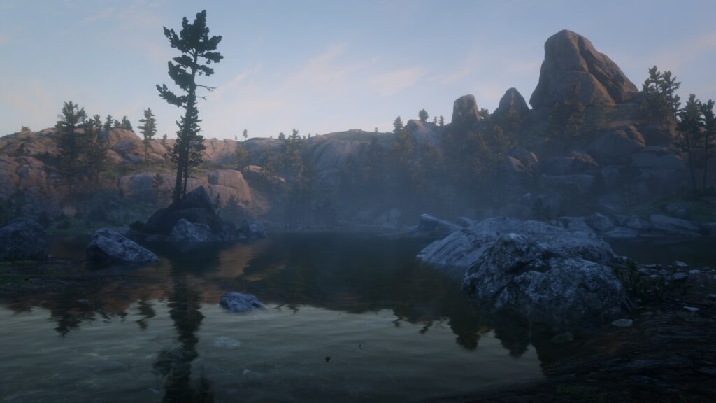
O’Creagh’s Run is a body of water in the Grizzlies East region of the Ambarino territory. It lies north of Three Sisters.
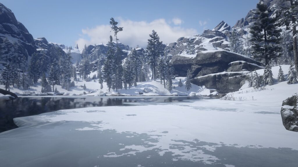
14. Lake Isabella
Lake Isabella is a body of water in the Grizzlies West region of the Ambarino territory. It can be found to the west in Grizzlies West, fed by Deadboot Creek.
15. Sea of Coronado
The Sea of Coronado is a body of water in the Gaptooth Ridge region of the New Austin territory. It is located to the west of Tumbleweed.
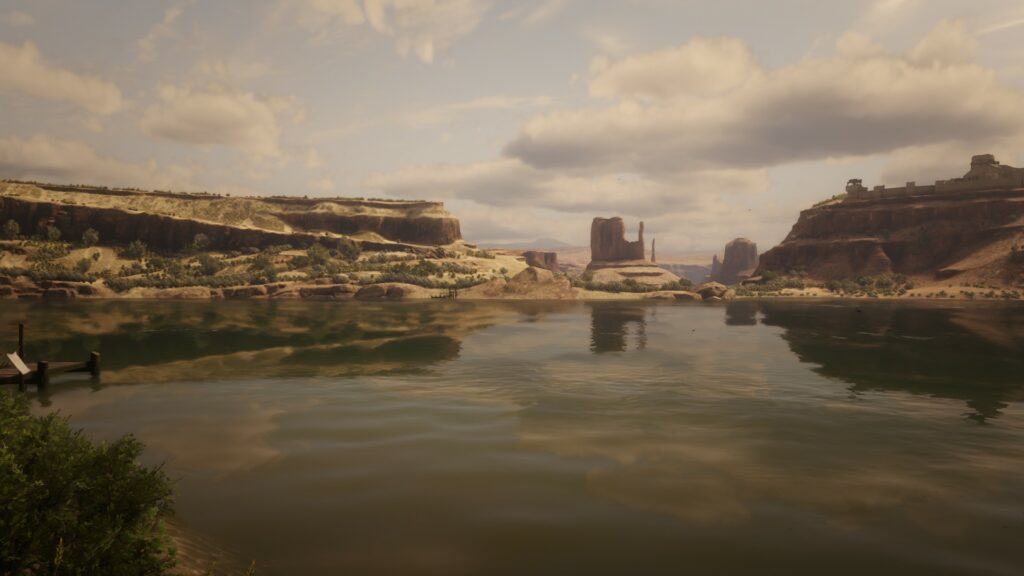
16. San Luis River
The San Luis River is a river that divides Mexico and New Austin.
17. Spider Gorge and Glacier
Spider Gorge is a river flowing through the northern part of Ambarino state. It is located in the Grizzlies West region.